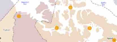
PDC Data Visualizations

Metadata Explorer

Metadata Explorer

The metadata explorer is an interactive data visualization that is designed to facilitate metadata and data discovery. This tool includes a variety of search filters, map and table perspectives, and an export feature for easy acquisition and reuse of search results.

View
Surface Air Temperature

Surface Air Temperature

An interactive time series and Holt-Winters forecast based on 7,084 total records, from 9 observation stations, dating back as early as January 1929.

View
Vertical Air Profile

Vertical Air Profile

An interactive set of correlations between vertical air profile metrics for a single dataset for Eureka Nunavut.

View

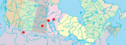
CCIN Data Visualizations

Snow Water Equivalent

Snow Water Equivalent

The SWE tool shows the depth of water (in mm) that would be produced if the snow melted. The coloured contours show variations in SWE derived from passive microwave satellite data.

View
Historical Snow Water Equivalent

Historical SWE

Interactive map of SWE data for the Canadian Prairies, presented in pentads (5-day periods) for years 1978-2007 and in weeks (7-day periods) for years 2010-2012. The coloured contours show variations in SWE derived from passive microwave satellite data.

View
Sea Ice Thickness

Sea Ice Thickness

This tool can animate and graph ice thickness data after selecting the year and stations to be displayed. The data used has been collected under the Ice Thickness Program Collection from Environment and Climate Change Canada.

View
Lake Ice Cover

Lake Ice Cover

The interactive Lake Ice tool below shows freeze and thaw dates for a large selection of Canadian and US lakes from 2004 to the present.

View
Historical Lake Ice Cover

Historical Lake Ice Cover

This tool shows freeze-up, break-up, ice thickness, and ice-on duration for a network of Canadian lake ice sites (red dots), 1822-1995.

View
Map Viewer Application

Map Viewer Application

The Map Viewer visualization tool displays GIS, CTD and Mooring data available in the Polar Data Catalogue, on an interactive map where data points can be clicked to view data at that specific location.

View

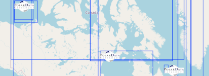
The Arctic and Antarctic metadata and data repository for Canada

CoreTrustSeal Logo

CoreTrustSeal Certified Repository

About Us

CCIN

CCIN provides research data management services and infrastructure for the Canadian Arctic and Antarctic research and monitoring communities.

CCIN/PDC
Waterloo Climate Institute
University of Waterloo
200 University Ave West
Waterloo, ON, Canada N2L 3G1
1-519-888-4567 X42689
pdc@uwaterloo.ca

Technical

Supported Browsers

Firefox 87, Google Chrome 89, Opera 75, Microsoft Edge 90, IE 11, and Safari 10


Maintenance Notice

The PDC website and applications may not be available during the daily maintenance window from 9:00pm to 11:00pm Eastern Standard Time (UTC-5:00) / Eastern Daylight Time (UTC-4:00).


Version

Version 2.2: Released August 2023

Waterloo Climate Institute

PDC Logo    2024 Polar Data Catalogue @ Canadian Cryospheric Information Network